Sources
[web01] http://vi.wikipedia.org/wiki/Phu_Xai_Lai_Leng
Photo sources
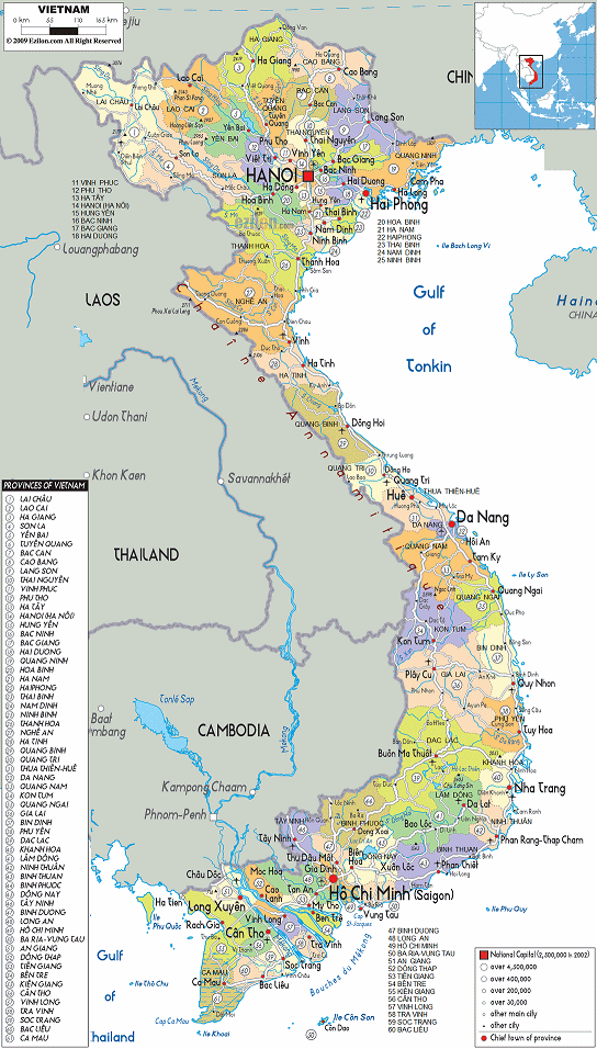
[1] map of Vietnam with provinces arranged by Michael
Palomino (2013):
http://www.ezilon.com/maps/asia/vietnam-maps.html
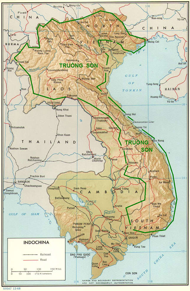
[2] map of Vietnam, Laos, and Cambodia with the mountain
range of Trụng Son arranged by Michael Palomino (2013):
http://www.vietvet.org/visit/maps/mape.jpg
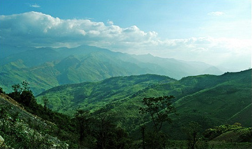
[3] jungle mountains of Trụng Son:
http://my.opera.com/khanhlinh086/albums/showpic.dml?album=636857&picture=8693729
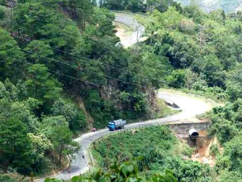
[4] mountains, road and lorry in the mountain range of
Trụng Son:
http://www.vietnamspirittravel.com/guide/ho_chi_minh_trails.htm
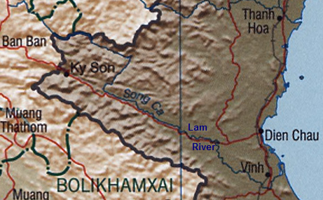
[5] map with Lan River (vietn. Song Ca) and Vinh:
http://commons.wikimedia.org/wiki/File:Lam_%28Ca%29_River.png
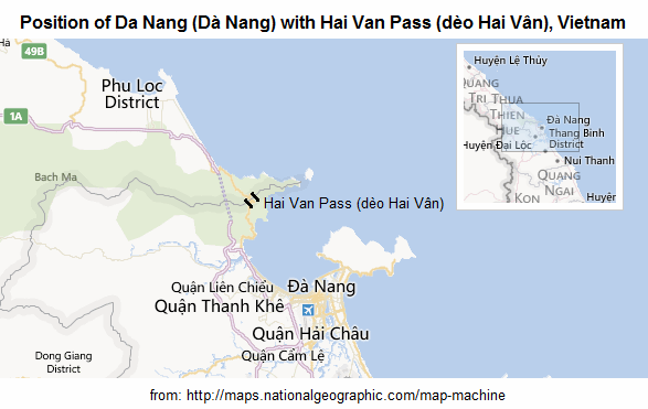
[6] map with Da Nang with Hai Vân Pass, arranged by Michael
Palomino (2013):
http://maps.nationalgeographic.com/map-machine#s=r&c=16.114430643112332,%20108.14872741699219&z=10
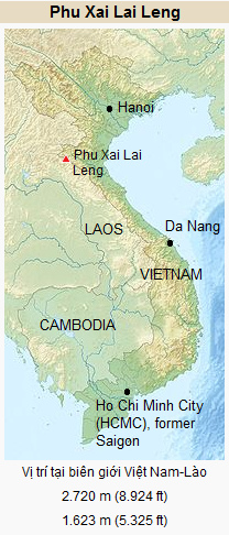
[7] Map of Vietnam with Pu Lai Leng Mountain:
http://vi.wikipedia.org/wiki/Phu_Xai_Lai_Leng


